Category: Mapping
Handout and Social Media Slides on Development on Hallets Cove, Astoria, for the Justice For All Coalition
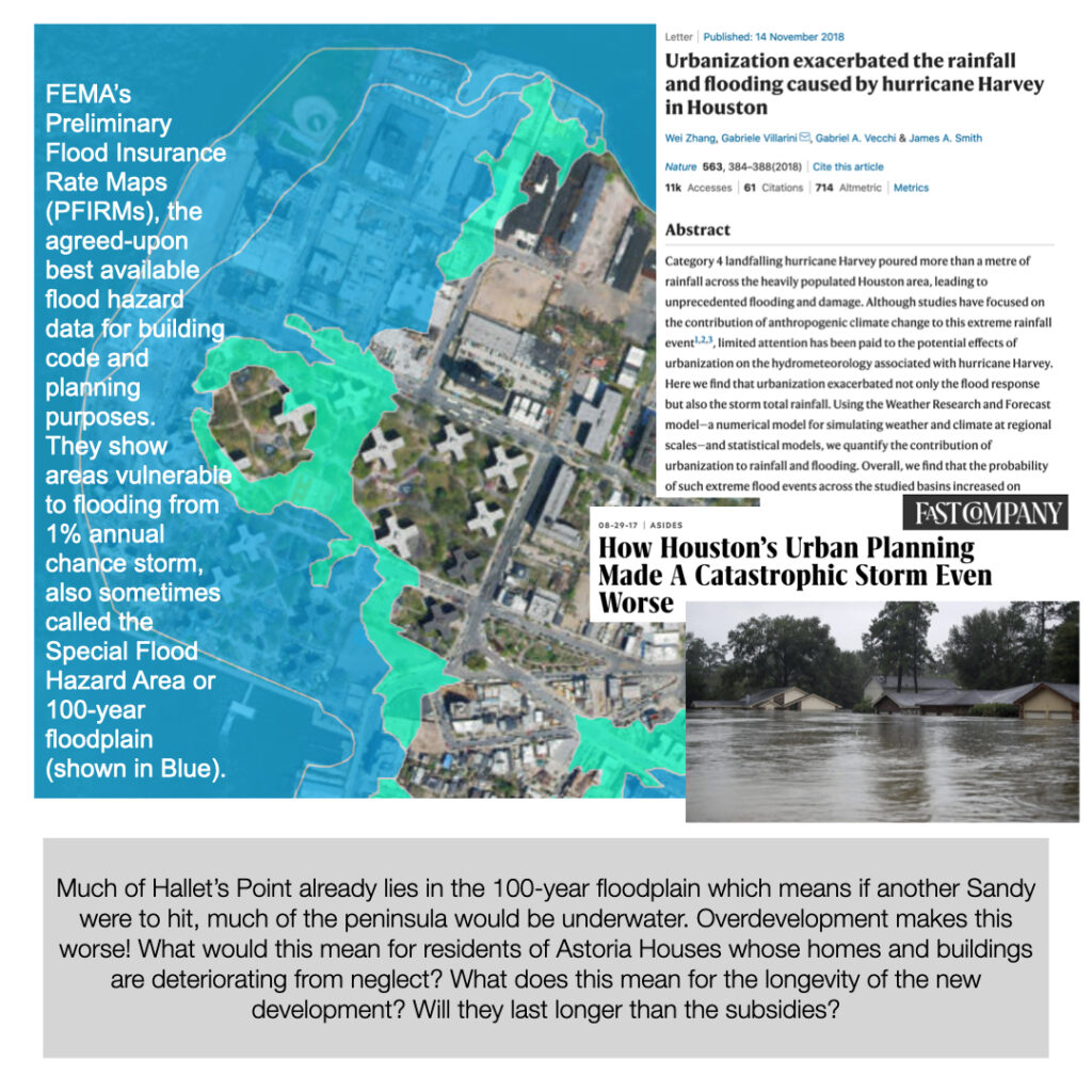
This handout was created for outreach and a community meeting at Astoria Houses in May 2021. It aims to clarify the state of development on the peninsula where Astoria Houses is located, and forthcoming plans. View &/or Download: Hallets Point View social media slides using the gallery below: [ngg src="galleries"…
Handout and Social Media Slides – Where is the Money for Public Housing? for Justice For All Coalition
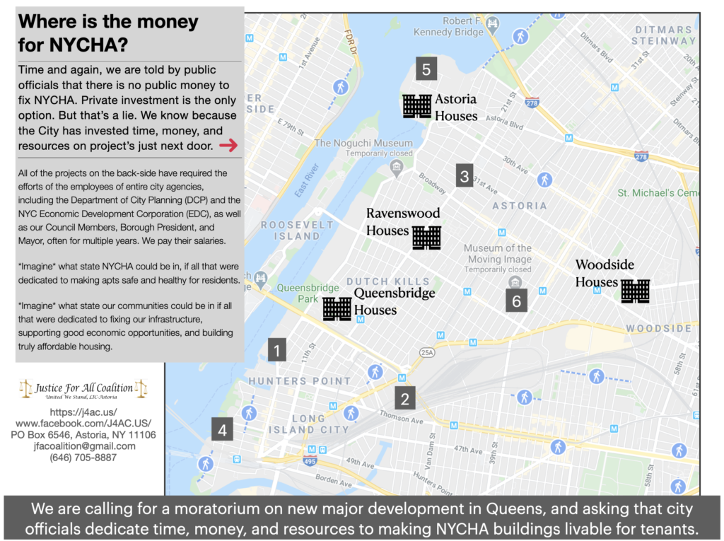
This handout undermines the repeated assertion by public officials that there is no money for public housing by pointing to the public money and support involved in other private development deals in the region of western Queens. View &/or Download: Wheres The Money? View social media slides in gallery below:…
StoryMap of State-led Changes in Long Island City
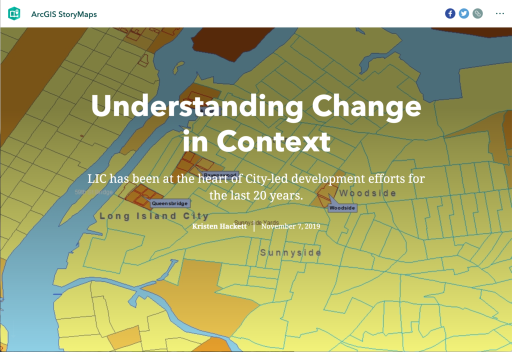
“Change” has come to define Long Island City, and increasingly Western Queens, as new buildings – and land values – go up, and working-class tenants, small manufacturing and businesses, and independents artists are pushed out. The City and its agencies often describe these changes in relation to trends, as though…
Mapping Project titled “Recalibrating Queens”
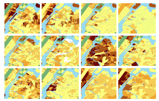
This ended up being more experiment than concrete project as the longer-term vision of the project remains aspirational. But the project is evidence of some of what comrade scholarship can look like, and the project at this stage does reveal interesting and useful findings. Overview Recalibrating Queens is a digital…
Collaborative Project titled “Mapping Arts, NYC”
As a Data for Public Good Fellow with the GC Digital Intiatives in Spring 2019, I along with a team of 9 other fellows and a faculty advisor brought a digital project from brainstorm phase to conception, to roll out and presentation in a matter of months. More than the…


